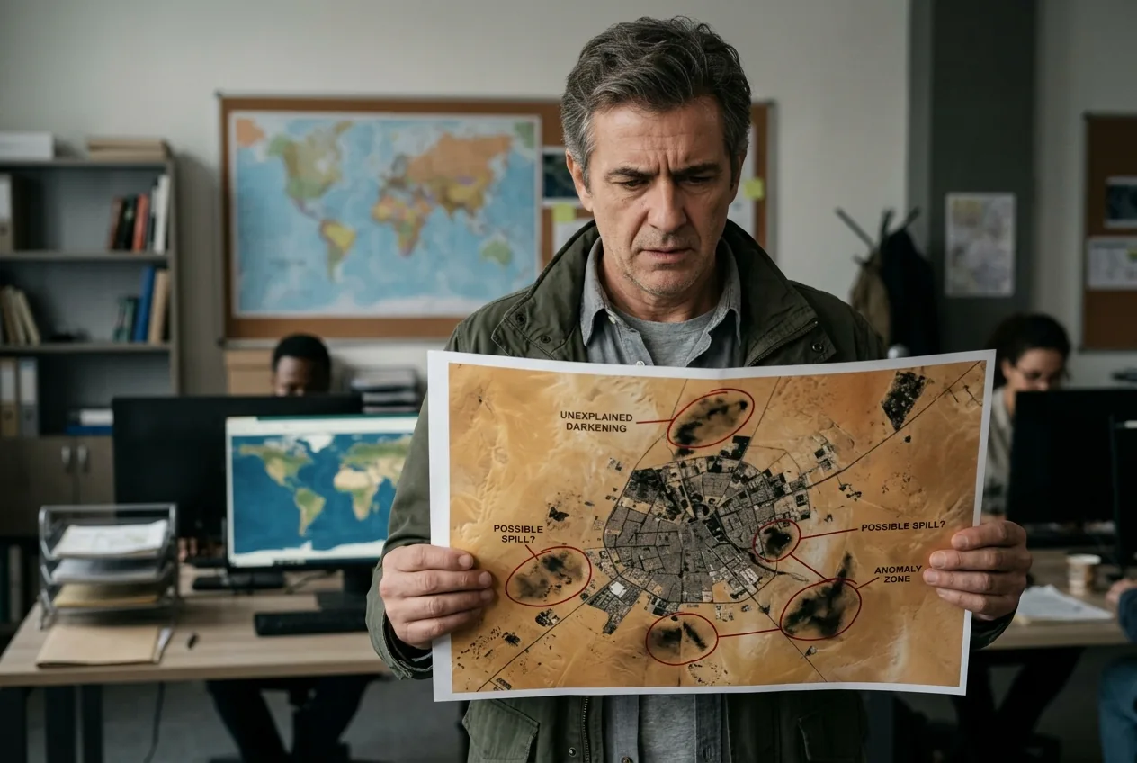
She paused, swallowed, and held up a grainy satellite still: a bruise of darkened sand beside a convoy of vehicles. Nadia Taha, born in El‑Fasher, choked up at a congressional briefing as she told lawmakers who had not seen the city in months that the scene in the photo matched the stories she had been trying to report from afar. The image — shorthand in headlines as evidence that "sudan: bloodstains visible space" — did what weeks of dispatches could not: it made distant violence legible to audiences that had mostly tuned the conflict out.
That moment matters because images can do political work in ways words often cannot: they convert absence into proof, and proof into pressure. But the tension is stark — the satellite signature forced attention while America’s institutions and many newsrooms were contracting away from long-form foreign reporting and humanitarian aid. The people most affected are civilians trapped in besieged cities like El‑Fasher; the ethical and policy dilemma is whether a pixel can replace the institutions that once turned evidence into response.
sudan: bloodstains visible space — the image that split a newsroom
The Yale Humanitarian Research Lab’s October report provided the specific visual that snapped open public interest. Analysts flagged "objects consistent with the size of human bodies" and at least five patches of "reddish earth discoloration" near RSF vehicles. In newsroom parlance, that wording is a careful, forensic cadence; in the public square it became the striking phrase that a column and television clip could run with. Suddenly, a conflict many had come to regard as remote surged into the headlines.
Journalists who had tried to maintain coverage through the siege described a contradiction that satellite photos made harder to ignore: the more dangerous and inaccessible a city became, the less on‑the‑ground reporting there was — and the more OSINT and imagery analysts had to shoulder the burden. "We can go places journalists can't go," Nathaniel Raymond of the Yale lab told colleagues; what he meant was practical, not triumphalist: when electricity, internet and safety disappear, satellites do not.
That attention revealed other newsroom fissures. Several outlets had already reduced foreign desks or cut regional correspondents. Local networks that tried to keep reporting running from within Sudan were often silenced by abductions, intimidation, and communications blackouts. The satellite images offered a form of remote corroboration for testimony from survivors and for the work of local reporters, but they did so at the exact moment many agencies that once funded or defended sustained foreign reporting were themselves retreating.
sudan: bloodstains visible space and the limits of satellite proof
Seeing blood from orbit is more dramatic than it is simple. The Yale lab’s analysts avoided sweeping claims: they described soil discoloration and objects consistent with bodies, not bodies themselves. That precision is the difference between evidence that moves editors and evidence that will stand up in court. It also highlights an essential limit: satellites can reveal patterns, not always identities or intent.
That technical caveat did not stop the images from shifting the story. Within days, advocacy groups and survivors used the pictures to push the United Nations and Western capitals to take notice; a UN fact‑finding mission later concluded that the events in El‑Fasher bore "the hallmarks of genocide." But what the images could not do was replace witness testimony, family interviews, chain-of-custody documentation, or the basic public infrastructure — functioning courts, international pressure and humanitarian channels — needed to convert outrage into accountability or relief.
There is also a political dimension to the limits of images. The RSF’s control over territory included control over communications infrastructure; Starlink access points were reportedly taken over. When access is concentrated in the hands of armed groups, imagery becomes both a tool for exposure and a layer in a propaganda contest. Videos and selfies posted by RSF‑friendly journalists complicated the visual record by offering alternative narratives, even as other images documented mass graves and damaged hospitals.
From pixels to policy: why seeing rarely equals acting
Members of Congress convened briefings; activists amplified the satellite photos; survivors and diaspora networks shared testimony. But those pushes met a policy environment in which the machinery for large‑scale humanitarian response has been weakened and in which political will is fragmented. The images provided a binary image of atrocity — unmistakable in the popular imagination — yet translating that into sustained aid corridors, protection for civilians, or legal action demands institutions whose presence has been ebbing.
That gap exposed an ethical calculation rarely acknowledged in the heat of coverage: remote sensing can document, but it is not a substitute for sustained engagement. The cost of reliance on OSINT is a narrower set of actors asking harder questions while the broader system that supports rescue, asylum, and accountability frays.
When satellite evidence reshapes journalism
Satellite imagery changed who could break the story. Local journalists who remained in the region had been marking the siege for months, but many were arrested, silenced or forced into exile. With ground access curtailed, international reporters leaned on nonprofit analysts and academic labs. That shift brought new collaborations — lab analysts supplying annotated imagery, local reporters providing context and names, and international outlets amplifying both. It also brought new frictions over verification, attribution and the presentation of evidence.
Two important tensions ran through those collaborations. First, there was the tension between speed and verification: images can be published quickly; verification takes time. Second, there was the tension between visual drama and the dignity of victims: publishing images of suspected mass killings risks treating corpses as proof rather than as human lives. Journalists and analysts wrestled with both, and their decisions shaped what the international public saw and how it responded.
The impact of satellite images on investigative journalism is therefore double edged. On one hand, they allow scrutiny where journalists cannot go; on the other, they concentrate power in institutions able to buy or process high‑resolution data, often academic labs or private firms, and create new gatekeepers for evidence in the public arena.
Oversight, accountability and an overlooked cost
The Yale lab’s report and the UN’s later fact‑finding both added to the evidentiary mosaic that human rights lawyers and investigators rely on. But there remains a yawning oversight problem: who ensures that images are used responsibly? Prosecutors, humanitarian agencies and newsrooms each apply different standards. Legal actors demand chain of custody and corroboration; humanitarian actors need rapid, actionable verification to protect civilians; editors need contextual sourcing to avoid amplifying propaganda.
Meanwhile, the human cost keeps climbing. The conflict has displaced millions — estimates put the number of internally displaced at around twelve million — and some counts suggest hundreds of thousands dead. The satellite images do not alter those numbers; they only make facets of the violence harder to ignore. The real test is whether seeing triggers durable commitments, not ephemeral headlines.
What others miss when they focus only on the image
One of the most striking contradictions of the El‑Fasher episode is that the very clarity the images brought also made obdurate the failures they revealed. The world saw the stains; it still failed to rebuild the institutions that could prevent them. Journalists pointed out that social media footage of RSF boasts and the lab’s annotated imagery fit together, showing a pattern of targeted killings and atrocity; yet the policy response remained diffuse. That mismatch — between the ability to see atrocity and the inability to marshal a proportionate response — is the story that the images forced into view.
Survivors, displaced families and the journalists who survived the siege continue to press for recognition, justice and aid. The satellite pictures provided one more lever. Whether that lever will be enough depends on the choices of governments, newsrooms and multilateral institutions now being asked to act on evidence that is both stark and partial.
Sources
- Yale Humanitarian Research Lab (October 2025 report on El‑Fasher satellite analysis)
- United Nations (February 2026 fact‑finding mission on Sudan)

Comments
No comments yet. Be the first!